
What Are the Alternatives to Google Earth for Satellite Maps To know about the earth is to know yourself. Not only geography students but also anyone curious about the earth. A map is made for this. Earlier map books were available. Nowadays, digital versions of maps are available. One of them is Google Earth.
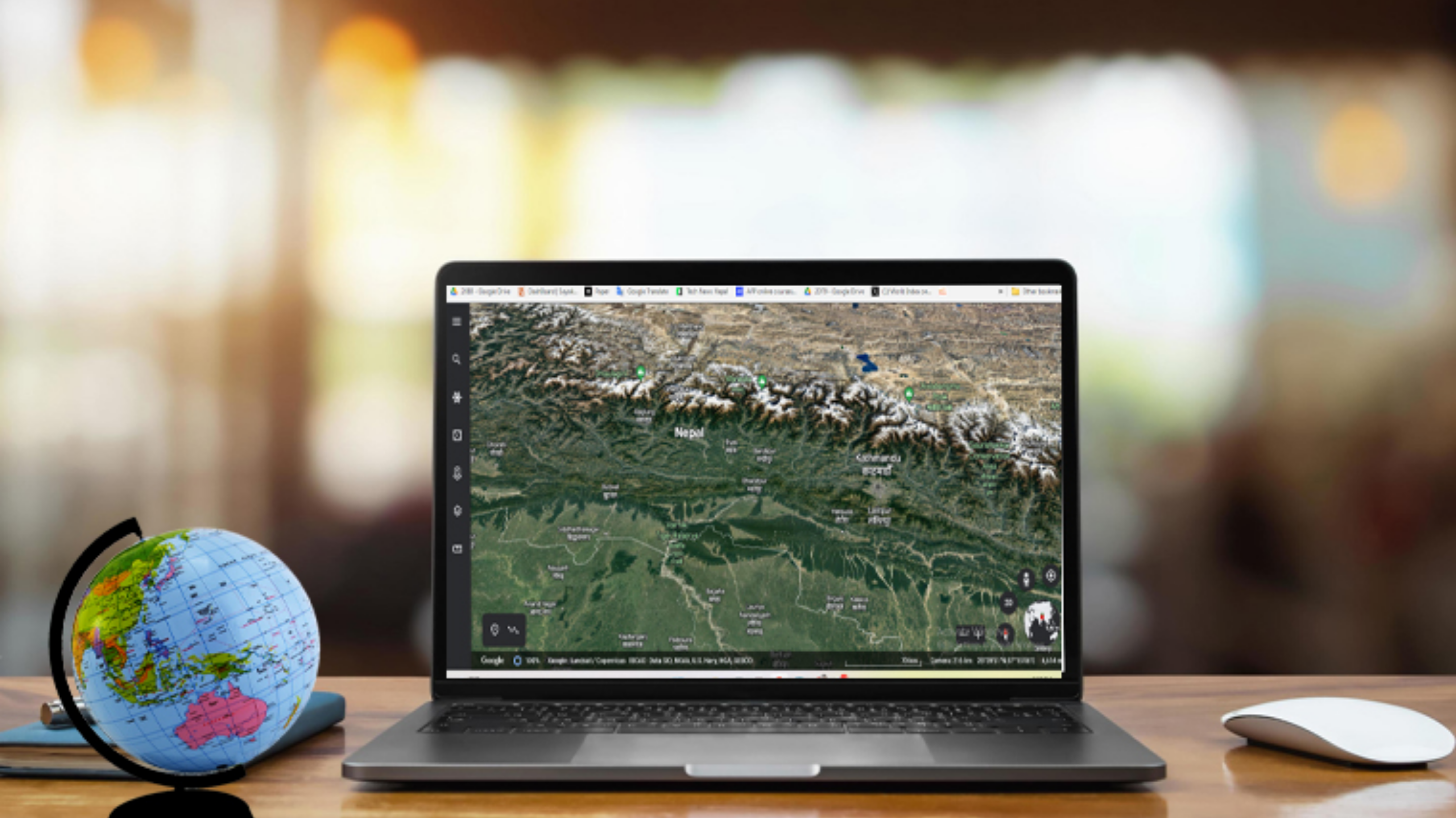
Built from thousands of data sets, satellite images, and maps, Google Earth is truly highly interactive. In this highly preferred app, any part of the earth can be seen in different ways. From which you can get various information. In addition, it has a satellite view. Street view. Major distances and other features are very useful.
But Google Maps is not the only one to provide information about Earth. Various other companies have made this type of application. Today we will discuss some of them:
1. NASA World View
It is not possible to see a direct view of the earth on Google Maps. It shows the Earth of the past by keeping years of data.
But you can see the direct view of the Earth in NASA World View. In it, you can see the earth from a few hours ago. Which is its main advantage. Click here to view the map.
2. United Nations Clear Map
Different versions of the world map can be seen on this map operated by the United Nations. Clear Maps and Carto Tile are special among them.
The borders of the countries can be seen from these. Users can zoom in and zoom out to see the map of countries on this map, which is especially used for educational purposes.
3. USGS
The United States Geological Survey (USGS) operates this map to provide information on earthquakes and other global disasters. It can be seen in which parts of the world disasters such as earthquakes, volcanoes, floods, fires, landslides, and droughts have occurred.
4. Sentinel
In 2015, the European Space Agency launched the Sentinel Observation Satellite. In this app, you can see the earth captured by the same satellite.
In this, the user can select a particular day or time to view the view of any place.
5. NATO
After the Second World War, the North Atlantic Treaty Organization (NATO), made up of countries in Europe and North America, is also running a map application to provide information about the geography of its member states. Through it, the geographical situation of each member state can be seen.
Apart from this, various facts about those countries can also be seen.